To
The Director General of Forests
Chairperson and the Esteemed Members of the Forest Advisory Committee
Ministry of Environment, Forests and Climate Change
Government of India
27th April, 2020
Subject: Petition to the Forest Advisory Committee re. the Etalin Hydro-Electric Project
Respected Members of the Forest Advisory Committee,
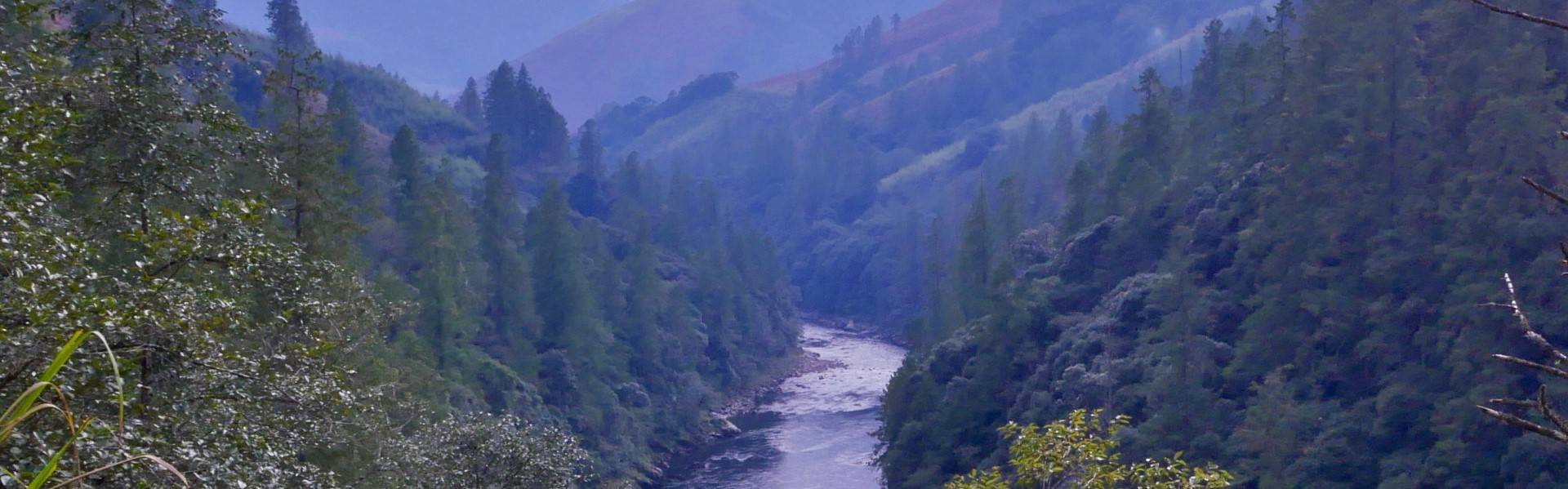
I, Chintan Sheth, am conducting a study on the glaciers and glacial lakes found in Dibang, Lohit, Kurung Kumey and Anjaw districts. As you may be aware Arunachal Pradesh has a vast elevation gradient and is drained by Tibetan rivers such as the Subansiri, Lohit and Siang. It is well known that these rivers are primarily fed by melting glaciers, snow cover and monsoon rainfall. However, it is much less known that the rivers in Dibang Valley are also fed glaciers and glacial lakes. Despite this fact we know very little about the hydrology, geology and geomorphology of these rivers, partly due to the difficult terrain. Using remote sensing methods and satellite imagery along with robust numerical methodology, I have been studying the glaciers and glacial lakes of Dibang Valley district.
Dibang Valley has close to 300 glaciers with an area of 200 km2 while there are about 350 glacial lakes covering an area of 50 km2. Glacial lakes indicate these areas historically had much larger glaciers that have now completely melted due to warming. The existing glaciers are retreating rapidly due to historical carbon emissions and ongoing climate change. With rising carbon emissions every year, it is expected that global warming will rapidly reduce the glacier area by upto 60 per cent by 2050, even if emissions were to stop now. This implies that the electricity production capacity of these hydro power projects is likely to fall considerably. Furthermore, this has created a potentially hazardous landscape as retreating glaciers are often accompanied by surface lakes that can catastrophically drain downstream as glacial lake outburst floods.
Currently, there are no estimates for the potential flood volume of glacial lakes and rate of glacier thinning. I have currently mapped and detected rapid melting of glaciers since 2009 on the Mathu (Mathun), Dri and Talõ (Tangon) rivers as well as recent emergence and expansion of glacial lakes. The Etalin hydroelectric power project proposes two dams on these rivers. The risk of such projects upstream closer to glaciers and glacial lakes, is extremely high due to the unpredictable nature of the volume and flow rate during glacial lake outburst floods. Dam breach model studies, as has been conducted for Etalin, account for only extreme rainfall floods. Additionally it remains to be seen if the dam structure design can withstand multiple glacial lake outburst floods. Even if the dam structures do withstand a glacial lake outburst flood, the dam itself acts as a barrier effectively creating a lake that drains after overtopping. In effect a dam creates a second lake that floods further downstream, after it overtopples, rapidly increasing the energy and flow rate of water. In contrast the natural topography of a river allows the water to spread and dissipate energy across the length and width of the river channel decreasing the flow rates as the flood propagates downstream.
Several studies have found that glacial regions are at the highest risk from climate change related catastrophes. Particularly due to extreme rainfall events that may disrupt the glacier surface, cause landslides and avalanches into the glacial lakes, triggering glacial lake outburst floods. For example, the 2013 Kedarnath disaster was one such flood that killed 6000 people and significantly destroyed two hydroelectric power plants in Uttarakhand. Glacial lake outburst floods are a considerable risk to communities living in the mountains as well as downstream. They alter the geography and during the surge collect as much debris and material downstream eroding slopes and obliterating anything in their path. In the event of such a flood, villages linked by bridges can be cut off indefinitely.
To further complicate the scenario, Arunachal Pradesh and specifically Dibang valley are part of a seismically active geological region. The mountain building process is ongoing and excessive strain is building up between geological layers. Earthquakes relieve this strain periodically, however, there are cases wherein large earthquakes do not completely relieve this strain, and are followed by great earthquakes. Aruanchal has been victim of such a great earthquake in 1950 that was preceded by a large earthquake in 1947 that did not release enough strain. The April 2015 Gorkha earthquake that killed 9000 people was also one such earthquake that did not release enough strain. It is anyone’s guess where the next great earthquake is expected to strike in the Himalayas.
Climate change, extreme precipitation events, receding glaciers, glacial lake outburst floods, and seismic events can trigger a chain of natural hazards in the rivers that can be catastrophic to upstream and downstream communities. Extreme rainfall events in 2015-2016 completely destroyed villages downstream the Dibang, in Lower Dibang district. Hydroelectric dams on such rivers can significantly exacerbate the problem.
The need of the hour is a massive effort to map the natural hazard risks of the region and keep in place early warning, real-time monitoring and communication systems that can facilitate the protection of communities and their ecosystems from natural hazards. Given the proposal of more than 100 dams across the Eastern Himalayas, the impacts of these dams in the face of climate change and seismic related natural hazards remains real and dangerous. I would sincerely request you to direct various scientific bodies in the country to conduct systematic studies of the natural hazards of the regions and the threat they pose to downstream communities and reconsider the construction of the projects. As to the best of my knowledge this has not been fully assessed for Etalin and the other dams that are proposed in Dibang Valley.
I thank you for your consideration.
Sincerely,
Chintan Sheth, M.Sc.
Independent Researcher; Naturalist and Geographer